

ALGI
A Decision Support System to support digital transformation in water utility operators with cost-effective water resource monitoring.
The installation of hundreds of sensors in lakes, and inland waters in general, is not only costly but also energy consuming. The freely available Copernicus data allow their users to build their own services and give flexibility on how to (re)use them. Such approach on multimodal content from satellite images contributes to the green transition of water quality companies, whether they are small/medium or large enterprises, public or private.
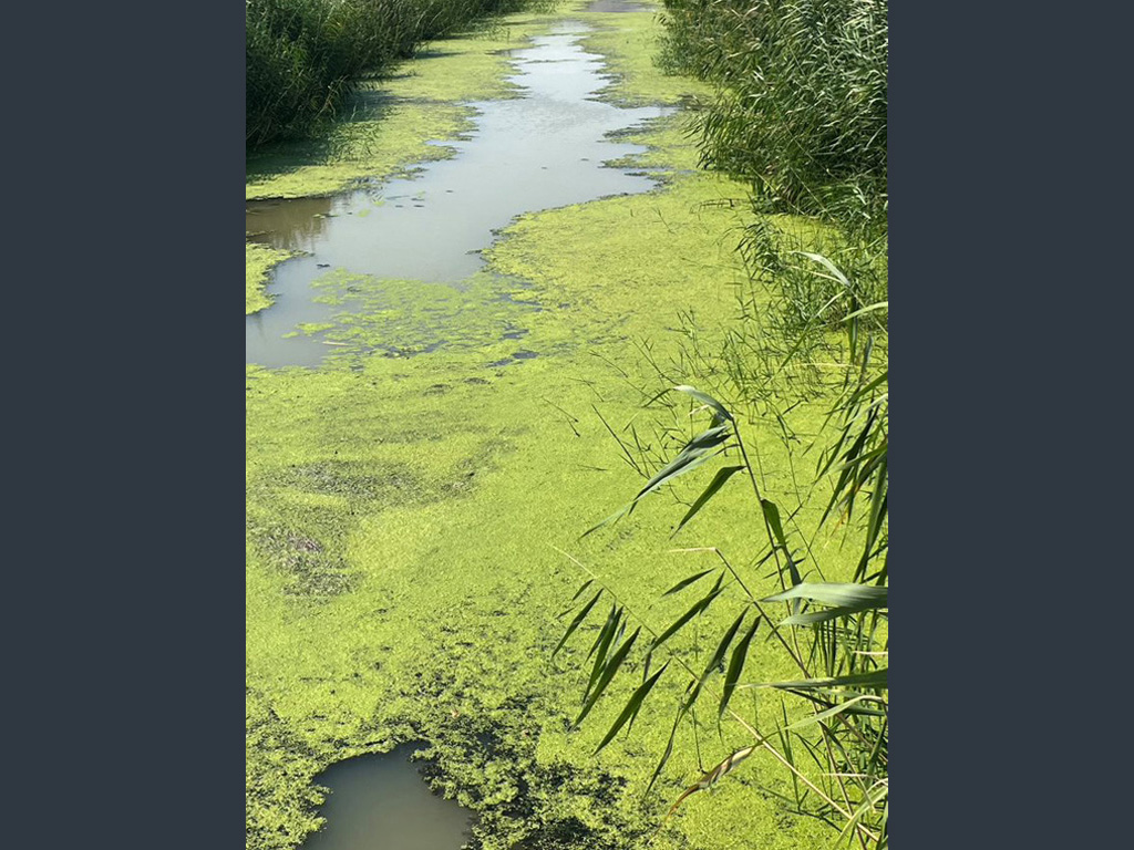
The solution provides estimates of algal bloom levels on the water's surface, where excessive growth can lead to the production of toxins that pose a threat to fish, other aquatic life, and, in certain instances, render the water unfit for human consumption. Consequently, closely monitoring algal bloom levels in drinking water reservoirs is of great significance to all stakeholders. Remarkably, this solution utilizes readily accessible Sentinel images from the Copernicus EU program, eliminating the need for in-person inspections and enabling the regular assessment of extensive geographical areas.
ALGI specializes in generating heatmaps for Chl-a level estimation and provides a complete suite with the following features:
- Satellite image acquisition service
- A custom Deep Neural Network architecture
- Notification system
- Multiple accounts
- GIS visualisation