

MUDDY
A Decision Support System to support digital transformation in water utility operators with cost-effective water resource monitoring.
The installation of hundreds of sensors in lakes, and inland waters in general, is not only costly but also energy consuming. The freely available Copernicus data allow their users to build their own services and give flexibility on how to (re)use them. Such approach on multimodal content from satellite images contributes to the green transition of water quality companies, whether they are small/medium or large enterprises, public or private.
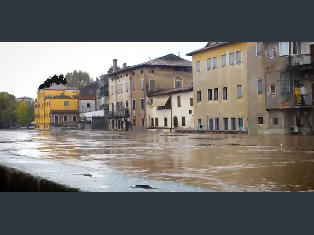
The solution estimates the detection of muddy waters, i.e., waters that contain significant amounts of sediment. High sediment content can impair the functioning of water treatment facilities, increase the cost of water purification, pose threat to the sustainability of local infrastructure such as dams, and result in the release of harmful substances, such as pathogens and toxic chemicals, into the treated water. Consequently, the solution offers an assessment of the water quality indication in drinking water reservoirs, which is a crucial aspect of efficient water resource management and safeguarding public health. Lastly, the solution uses freely accessible Sentinel images from the Copernicus EU program, eliminating the need for on-site inspections.
MUDDY addresses water quality indicators after a flash flood and provides a complete suite with the following features:
- Satellite image acquisition service
- A custom Deep Neural Network architecture
- Notification system
- Multiple accounts
- GIS visualisation